01.
Thermal Deer Recovery
Eight north-central Maryland counties. A licensed remote pilot grids the impact and escape routes with thermal. Not offered in Pennsylvania.
Learn More
FAA Part 107 · Maryland deer recovery
Thermal drone deer recovery across eight north-central Maryland counties. Based in Adams County, Pennsylvania — we also fly media, lost pets, livestock, and herd census.
8
Maryland counties
$100
One-hour search
+$50
If he finds the deer
Deer recovery is Maryland only. It is not offered in Pennsylvania.
01.
Eight north-central Maryland counties. A licensed remote pilot grids the impact and escape routes with thermal. Not offered in Pennsylvania.
Learn More02.
Farms, businesses, properties, and campaigns. Flown from Adams County, Pennsylvania under an FAA Part 107 certificate.
Learn More03.
Thermal and visual search for a dog that ran, a calf in the timber, a horse off the pasture. Call as soon as it's missing.
Learn More04.
Count and map deer on a farm, lease, or property. Thermal after dark, visual by day. Survey work — not a recovery flight.
Learn More01.
Mark last blood, the shot location, and where you last saw the deer. Stay put if it's safe. Don't push it.
02.
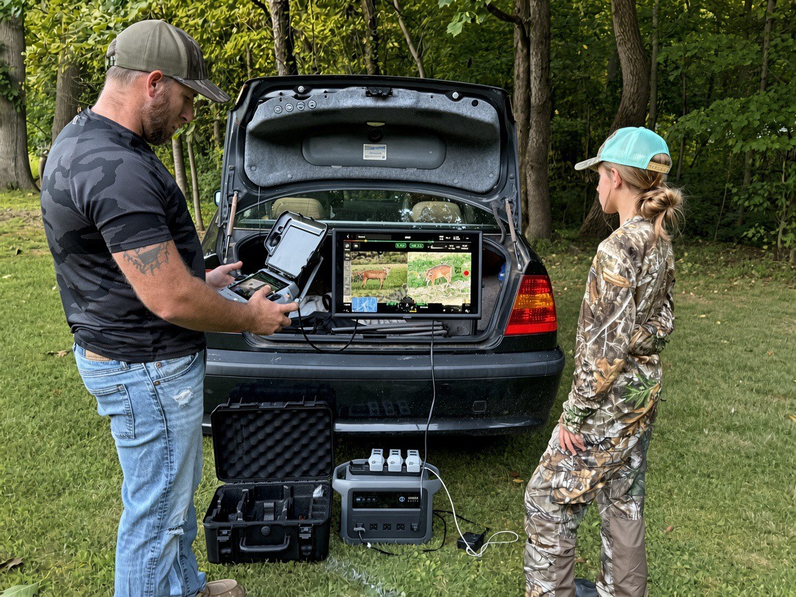
Zac grids the timber with a thermal camera — night, laurel, and thick stuff included. You stay on the phone.
03.
If it's there, you get a GPS mark, a heading, and what the heat looks like — tight and bright, or cooling.
04.
You or your party tag it and get it out. He will not trespass, and he will not drag a deer off someone else's land.
Zac, owner of Adams County Drone Solutions LLC, is based in Adams County, Pennsylvania. Recovery flights are eight Maryland counties — not Pennsylvania. You walk to a pin, not in circles.
01.
Adams County Drone Solutions flies under a licensed remote pilot certificate. You don't need a drone license. Game-law tagging still sits with you.
02.
A deer's heat stands off cold timber after dark. Thick canopy and mountain laurel are why hunters call — not why we stay home.
03.
Most of the eight Maryland counties are 30–90 minutes from Adams County. Night and weekend, same rate. If he's already on a recovery, he'll say so.
04.
Private land needs permission. Maryland public land and WMAs only where drone flight is legal. No trespass, no exceptions.
05.
You stay put. The aircraft grids. You walk to coordinates instead of pushing a wounded deer through the next county.
06.
No ethical operator can promise a find. You still get a systematic search and a straight read of what the air showed.
Call or text from the field. Send the dispatch so we have the pin before we roll.